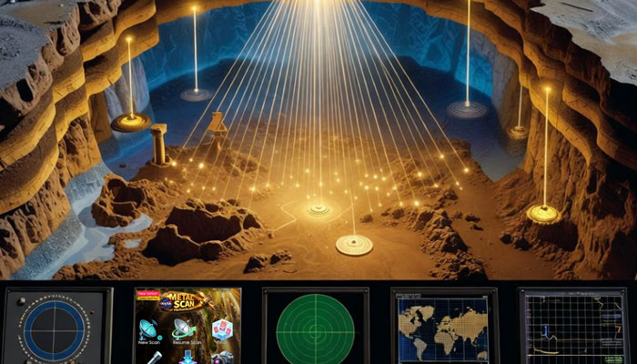
Treasure hunting training
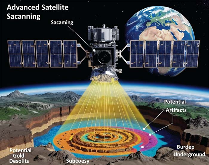
How Underground Satellite Scanning Finds Gold
Feb
Gold has fascinated humanity for thousands of years. From ancient civilizations burying valuables to modern prospectors searching for hidden deposits, the dream of uncovering treasure never fades. Today, many people search online for underground satellite scanning for treasures and gold, hoping that advanced space technology can reveal what lies beneath the surface.
But how is underground satellite scanning actually done?
Can satellites really detect gold underground?
Or is it a misunderstanding of how remote sensing works?
In this comprehensive guide, I’ll break down the science, the technology, and the modern integrated methods used in treasure hunting and gold exploration. You’ll also understand how combining satellite data with advanced geological software and specialized training systems can significantly enhance underground metal detection accuracy.
If you intend to perform satellite scanning for gold and treasure using your smartphone, you can take a look at the NASA Satellite Metal Scanning application, whose latest version has recently been released.
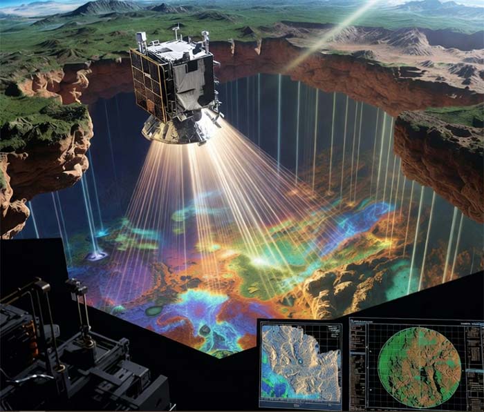
What Is Underground Satellite Scanning?
“Underground satellite scanning” refers to the use of satellite imagery, remote sensing technology, geological modeling software, and advanced analytical systems to identify subsurface anomalies that may indicate the presence of metals such as gold and silver.
Modern exploration does not rely on raw satellite imagery alone. Instead, it uses:
- Multispectral & hyperspectral data
- Structural geology analysis
- Mineral alteration mapping
- AI-assisted interpretation models
- Proprietary geological software systems
This integrated approach allows for deeper subsurface interpretation beyond simple surface observation.
Can Satellites Really Detect Gold Underground?
The Scientific Foundation
On their own, standard satellites cannot directly “see” solid gold objects deep underground like an X-ray device.
However, and this is critical …
when satellite data is combined with advanced geological software, proprietary analytical programs, and specialized training systems such as Resatscan, it becomes possible to identify subsurface metallic anomalies including gold and silver.
In other words:
Satellite data alone provides surface indicators.
Integrated geological processing transforms those indicators into subsurface metal detection insights.
Through multi-layer data modeling, spectral filtering, structural analysis, and anomaly clustering algorithms, hidden metallic targets can be located with significantly improved precision.
How Satellite Remote Sensing Actually Works
Satellite-based gold exploration relies on detecting indirect geological signatures.
1. Multispectral Imaging
Multispectral satellites capture data across:
- Visible bands
- Near-infrared (NIR)
- Short-wave infrared (SWIR)
These bands help identify:
- Iron oxide staining
- Clay alteration minerals
- Silica-rich zones
- Oxidation halos
Gold deposits are often associated with these features.
2. Hyperspectral Mineral Detection
Hyperspectral sensors detect hundreds of narrow wavelength bands, allowing identification of:
- Kaolinite
- Alunite
- Hematite
- Limonite
- Hydrothermal alteration minerals
These are key geological indicators of gold-bearing systems.
3. Structural & Lineament Analysis
Gold and silver deposits frequently form along:
- Fault systems
- Shear zones
- Fracture networks
- Ancient river channels
Satellite imagery helps map these structural pathways.
Advanced Data Integration: From Satellite to Subsurface Detection
Here is where modern systems change everything.
While raw satellite imagery identifies surface mineral indicators, the real breakthrough happens when:
- Satellite datasets are layered
- Geological modeling software analyzes spectral anomalies
- Structural data is integrated
- AI-based filtering removes noise
- Proprietary interpretation algorithms are applied
Through the combination of satellite data with geological software and specially developed proprietary programs, along with dedicated Resatscan training, it becomes possible to detect underground metallic targets such as gold and silver using satellite-based analysis.
This process includes:
- Multi-spectrum anomaly isolation
- Density modeling
- Metallic signature clustering
- Deep structural correlation
- Subsurface probability mapping
The result is a targeted underground detection map rather than simple surface imagery.
Step-by-Step: How Gold Exploration Using Satellite Data Is Done
Step 1: Regional Geological Study
Understanding rock formations and tectonic history.
Step 2: Satellite Data Collection
Acquiring multispectral and hyperspectral datasets.
Step 3: Data Calibration & Noise Reduction
Removing atmospheric distortions and irrelevant reflectance.
Step 4: Spectral & Structural Processing
Using geological software to analyze:
- Mineral signatures
- Lineaments
- Density anomalies
Step 5: Integration with Proprietary Programs
At this stage, combining satellite data with specialized geological software and Resatscan’s exclusive training system enables enhanced subsurface metallic detection.
Step 6: Target Mapping
Generating underground anomaly zones for gold and silver.
Combining Satellite Data with Geological Software & Specialized Systems
This is the key evolution in underground satellite scanning.
Traditional limitation:
Satellites cannot directly scan deep underground metals.
Modern solution:
By combining satellite datasets with geological software, advanced modeling, and proprietary analytical programs, including the exclusive Resatscan training framework, underground metals such as gold and silver can be detected through satellite-assisted analysis.
This hybrid method uses:
- Layered spectral processing
- Subsurface density modeling
- Structural stress mapping
- Metallic anomaly algorithms
- Advanced interpretation training
The human factor, specialized training, plays a crucial role in interpreting satellite-based underground metal signals accurately.
Limitations and How Modern Technology Overcomes Them
Traditional Limitations
- Surface-only reflectance detection
- Inability to directly see solid metal objects
- False positives from mineral-rich soil
Modern Technological Advancements
By integrating:
- Multi-layer satellite datasets
- Geological interpretation software
- Proprietary metal-detection algorithms
- Dedicated Resatscan training systems
It becomes possible to enhance detection depth modeling and identify subsurface gold and silver targets more accurately.
While satellites alone have limitations, integrated systems significantly expand detection capabilities.
Real-World Applications in Gold & Silver Detection
Advanced satellite-assisted systems are used for:
- Remote desert exploration
- Mountain mineral mapping
- Archaeological metallic detection
- Silver vein discovery
- Placer gold zone identification
When combined with ground verification methods such as:
- Geophysical surveys
- Magnetometry
- Soil sampling
The success rate improves substantially.
FAQ: Underground Satellite Scanning for Gold
1. Can satellites directly see gold underground?
Alone, no. But when combined with geological software, proprietary analysis programs, and Resatscan training, underground gold and silver detection becomes achievable.
2. Is underground satellite metal detection real?
Yes, when using integrated data processing systems rather than raw satellite imagery alone.
3. What metals can be detected?
Gold, silver, and other metallic anomalies can be identified through advanced satellite-assisted modeling.
4. Do I need special software?
Yes. Geological interpretation software and proprietary processing systems are essential for accurate results.
5. Is training required?
Absolutely. Specialized training such as Resatscan’s exclusive educational system significantly increases interpretation accuracy.
6. Is this better than a metal detector?
It serves a different purpose. Satellite-assisted systems locate large underground zones, while metal detectors confirm smaller objects on-site.
Conclusion
Underground satellite scanning for treasures and gold is no longer limited to simple surface observation.
While satellites alone cannot directly scan solid gold underground, the combination of:
- Advanced satellite datasets
- Geological software
- Proprietary analytical programs
- And exclusive Resatscan training
makes it possible to detect underground metallic targets such as gold and silver using satellite-assisted systems.
Modern treasure detection is no longer about single tools, it’s about intelligent data integration.
If you want serious results, focus on advanced processing, structured analysis, and professional training.
Technology provides the data.
Expert systems turn it into discovery.